


Building Landslide Risk Maps for Early Warning
Amid climate change, urbanization and infrastructure development, landslides across Lam Dong Province are becoming increasingly complex, causing casualties and property damage while disrupting transport, production and daily life.
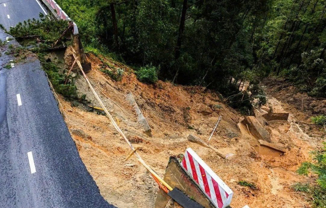
Identifying high-risk areas
In response to the situation, the provincial Department of Science and Technology has launched a research project titled “Surveying and assessing current conditions, zoning risk levels, and developing an early warning system for landslides in inner Da Lat and Bao Loc and along major national highways in Lam Dong.” Building a database, risk maps and an early warning system is considered an urgent requirement for state management, development planning and disaster prevention.
After one year, experts from the Southern Branch of Thuy Loi University in Ho Chi Minh City, which was assigned to lead the project, reported initial research findings. The team has developed a digital database on the current status of landslides across the province and identified 347 sites at risk of landslides, 81.3% of which are classified as high or very high risk.
Notably, 23 sites in Da Lat and Dam Rong face particularly high landslide risks, directly affecting approximately 1,341 households. The research team has recommended restricting construction, strengthening monitoring and early warning measures, and considering the relocation of residents from areas where safety cannot be ensured. Most of the identified risk sites currently lack appropriate technical landslide prevention and mitigation measures.
Landslide incidents also pose serious threats to traffic safety on key routes, including Prenn Pass, Mimosa Pass and Bao Loc Pass, as well as numerous national highways running through the province. These incidents disrupt travel and the transportation of goods while affecting production and business activities.
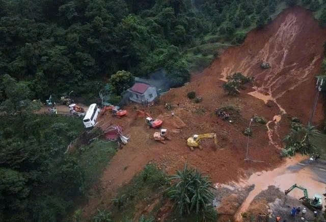
Applying AI to forecasting and early warning
Building a management, monitoring and early warning system is considered an essential solution. Associate Professor and PhD Tran Dang An, head of the research project, said the team is developing a GIS-based digital system for managing landslide data.
All survey data will be integrated into digital maps to support the management, updating and monitoring of landslide risks. Residents will also be able to access information through an online platform, enabling them to take proactive measures against natural disasters.
To improve forecasting accuracy, the research team will apply new technologies, including artificial intelligence (AI), deep learning, Interferometric Synthetic Aperture Radar (InSAR) imagery and geotechnical models, to analyze and assess landslide risks.
The landslide risk mapping system will also be developed at different scales, ranging from a 1:100,000 province-wide map to detailed 1:5,000 maps for high-risk areas such as Da Lat and Bao Loc. The system is expected to support risk management, planning and emergency response in specific areas.
Based on this database, a WebGIS platform will be developed for risk management and early warning. Once completed, residents, drivers and authorities will be able to check landslide risks at specific locations, helping improve traffic safety, support urban planning and guide residential development.
Upon completion, the project will provide a scientific database for forecasting and early warning of landslide risks, while supporting urban, transport and residential planning and improving the effectiveness of disaster prevention and response.
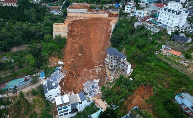
Experts say landslides are caused by multiple factors, with prolonged heavy rainfall saturating the soil considered the main trigger. Slope grading, road construction, building on steep slopes and urbanization without adequate drainage systems can also increase the risk of landslides.