Hon Hai Island – A Sacred Symbol of Vietnam’s Sovereignty in the Binh Thuan Sea
Located 160 kilometers from the mainland, Hon Hai Island (Phu Quy Special Administrative Region, Lam Dong Province) serves as point A6 on Vietnam’s national baseline, marking the southern boundary of the country’s internal waters.

Hon Hai Island, part of Phu Quy special administrative region, lies about 160 kilometers from the mainland. This remote island stands as a steadfast marker of Vietnam’s sacred maritime sovereignty.
Also known as Hon Kham, the island is located 38 nautical miles southeast of Phu Quy Island. It serves as Point A6 on Vietnam’s baseline — recognized as the southernmost point of the country’s internal waters boundary in the East Sea.

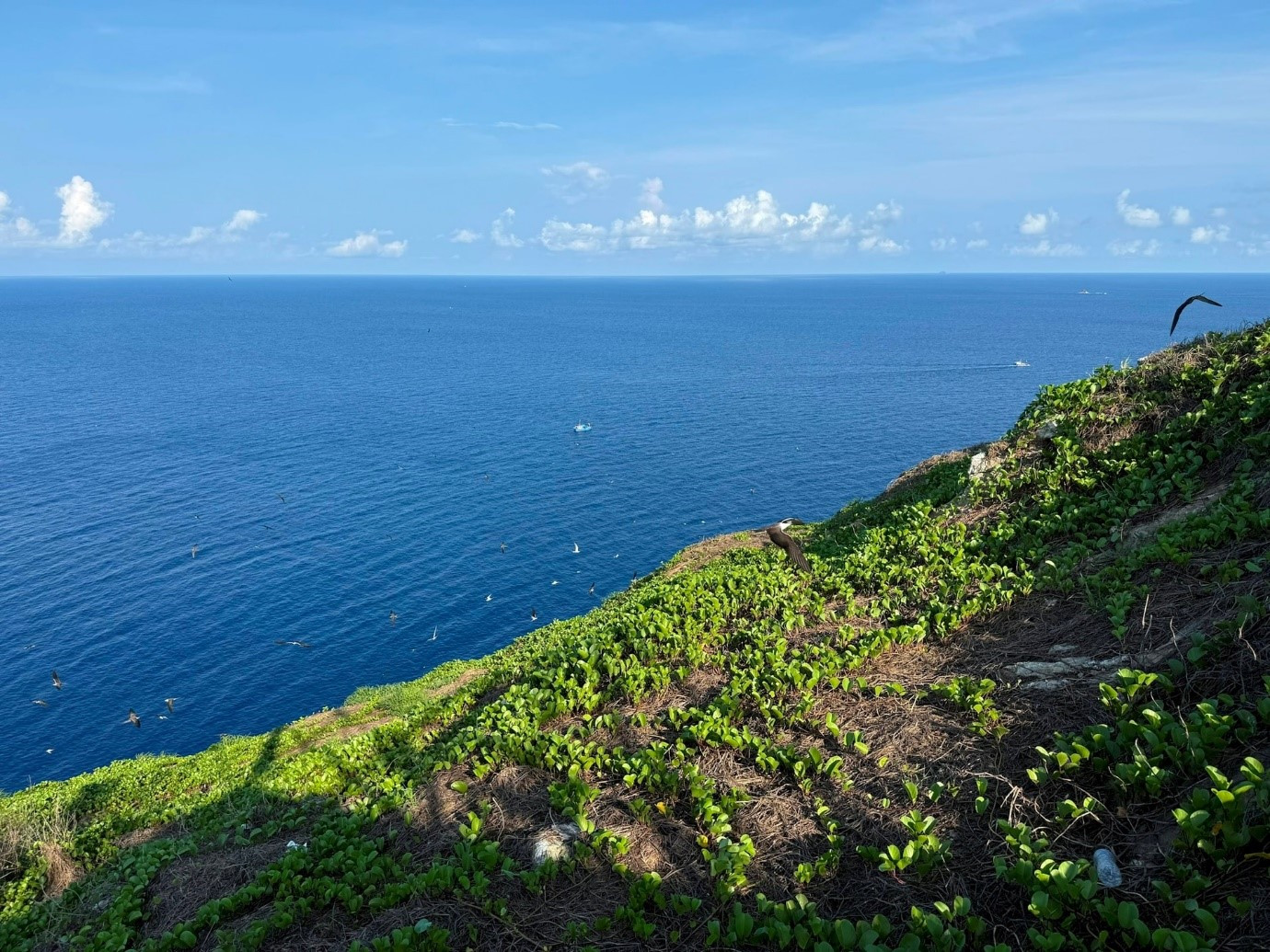
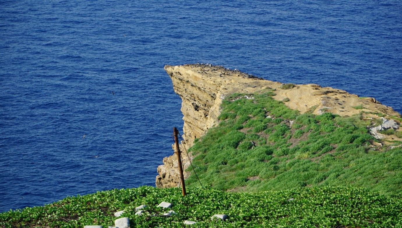
Geologically, Hon Hai Island is complex and striking. Stretching roughly 900 meters in length and 60 meters at its widest point, the island rises about 115 meters above sea level, with sheer cliffs towering over 100 meters high. From a distance, Hon Hai appears like a massive stone block jutting dramatically out of the ocean.
At the base of the island stands a concrete facility used by maritime safety officers. Directly above it is the Vietnamese sovereignty landmark — a proud emblem asserting national presence at sea.
Reaching Hon Hai is no easy task. The surrounding waters are often rough and unpredictable, with strong waves and hidden reefs making access difficult even during calm seasons. Those who make landfall must ascend to the island’s surface through a steep tunnel carved into the rock, stretching approximately 170 meters long.
In addition to the maritime safety station, Hon Hai today is home to the Hon Hai Lighthouse, the A6 baseline marker, and a helicopter landing pad — all serving as vital components in maintaining Vietnam’s presence and sovereignty over this southern maritime frontier.