


Satellite alerts improve forest management and protection in Lam Dong
Remote sensing technology, satellite imagery and mobile devices are proving effective in forest management and protection in Lam Dong. These technologies enable early detection of forest changes and support rangers in verifying information in the field, helping improve patrols and forest resource monitoring.
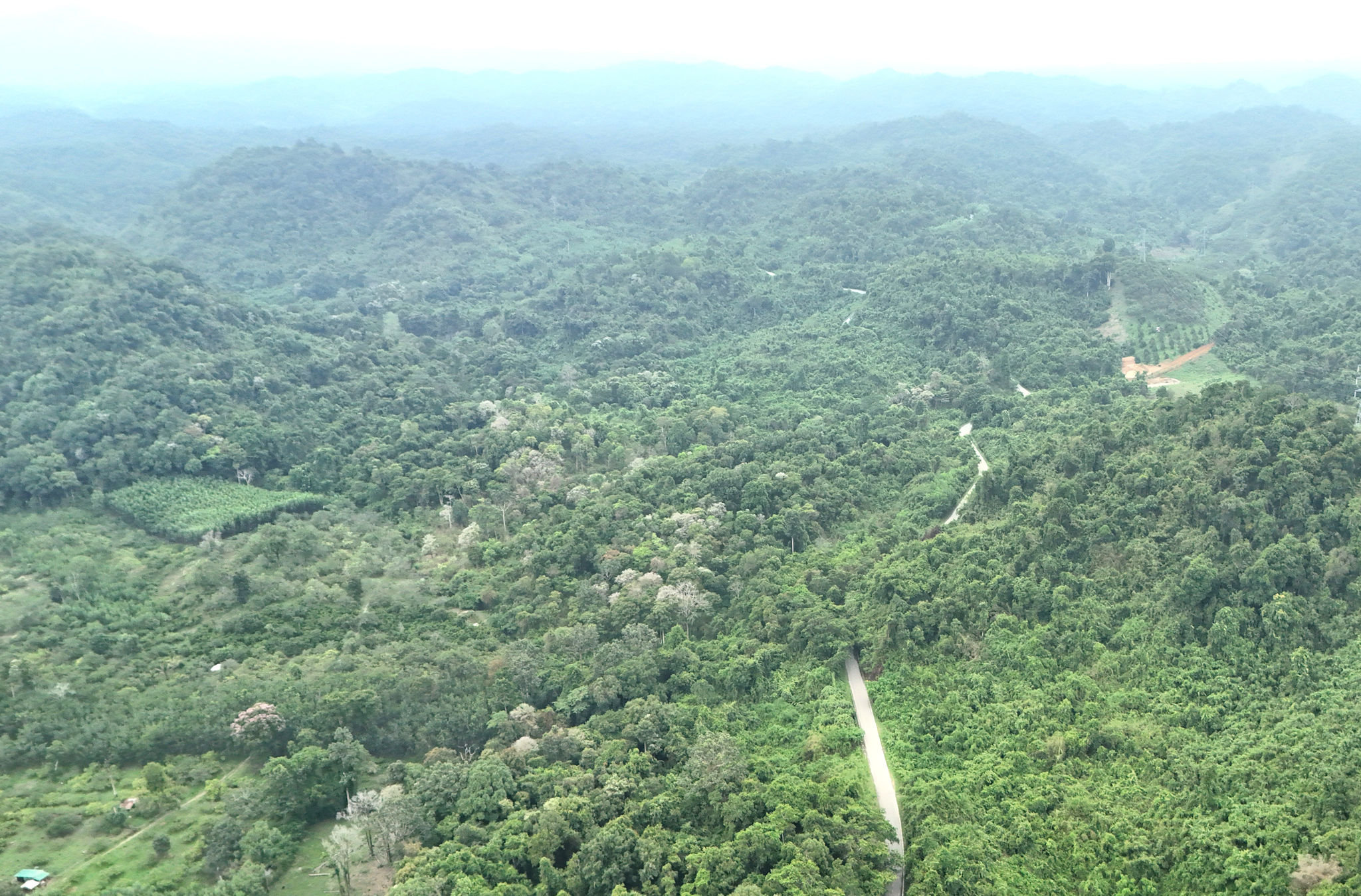
Detecting forest changes from satellite imagery
Across more than 1.1 million hectares of forest in the province, early detection of changes in forest conditions remains an important task for forest rangers.
Lam Dong's forests span complex terrain, with many areas far from residential communities, making patrols and inspections difficult. Against this backdrop, remote sensing technology and satellite imagery provide another way to monitor forest resources and help authorities detect signs of unusual changes more proactively.
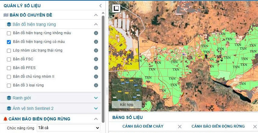
According to the Lam Dong Provincial Forest Protection Department, a system using remote sensing technology, satellite imagery and mobile devices for forest patrols, management, verification and resource monitoring, known as FMS, is being used in professional operations. The system consists of two main components: WebGIS-based software and the FMS Mobile application, which is compatible with Android and iOS.
Using Sentinel-2 satellite imagery, the system helps detect changes in forest cover and issue alerts. Alerts are automatically sent by text message and email to relevant parties twice a month, on the 2nd and 16th.
The updated data give authorities an additional basis for identifying areas requiring inspection, comparing current conditions and organizing field verification.
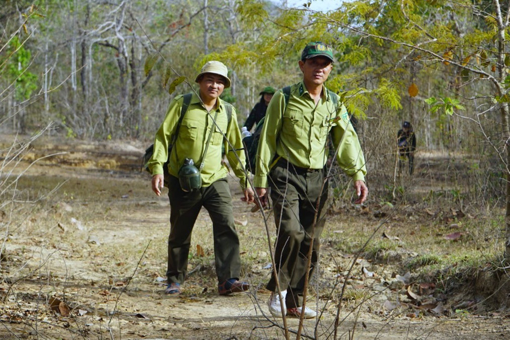
Since 2021, the FMS system has detected and issued alerts for more than 2,000 forest-status changes. Field verification identified 23 cases of illegal deforestation, 35 cases of forestland encroachment, seven cases involving changes in forest use, 940 clear-cutting sites and other types of forest change.
Notably, the system once detected a deforestation site on Phu Quy Island. Satellite data also helped authorities discover an area where cannabis plants were being grown in a high-altitude forest under the management of Thu Duc Prison.
These cases show how remote sensing data can help identify unusual activity in areas requiring attention, including locations where direct access and inspection are difficult.
Bringing data closer to forest protection teams
While WebGIS supports the monitoring and management of forest changes on digital maps, FMS Mobile brings that information directly to personnel working in the field.
Through the smartphone application, local forest rangers and specialized forest protection teams can record patrol routes, take geotagged photos, verify alerts directly on site and update related information.
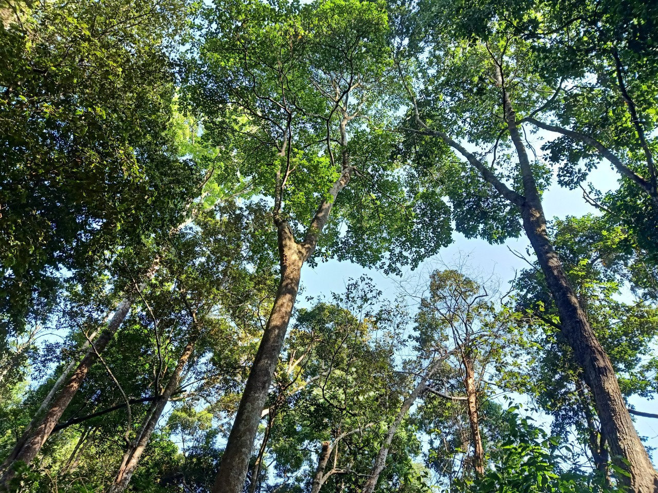
Recording data directly in the field helps reduce fragmented or inconsistent information between patrol activities and subsequent reporting. Updated data also allow management agencies to track verification progress and support inspections and coordination among relevant units.
As a result, information processing is gradually moving onto digital platforms instead of relying entirely on manual recording and compilation.
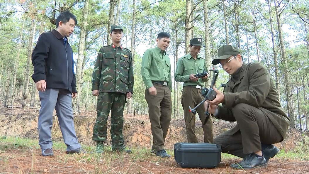
For forest rangers and forest owners, the alert system and mobile application provide additional tools to identify areas requiring inspection, store geotagged information and update verification results more conveniently.
Combining technological data with direct field inspections is an important factor in improving forest management and protection. The practical results of the FMS system's implementation have attracted delegations from many localities nationwide seeking to learn from Lam Dong's experience.
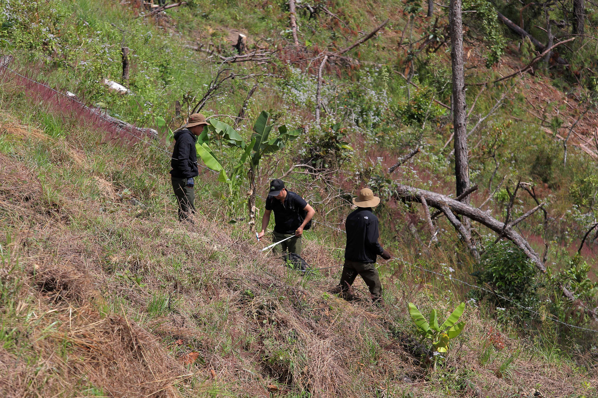
From satellite imagery to patrols on the forest floor, technology is adding modern tools to Lam Dong's forest management efforts. With timely data updates, verified alerts and more effective information sharing, forest protection forces are better equipped to detect risks early, address violations and strengthen forest resource management.